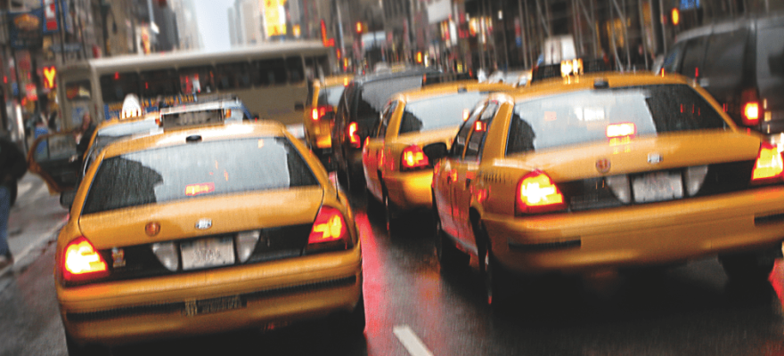

With the Papal visit AND the U.N. General Assembly converging on the New York City area in the same week, we’re all wondering the same thing: How are we going to get around the city?!
AT&T curated the below list of transportation apps available in the iOs and Android stores to help New Yorkers confront traffic jams, subway and bus delays, and street closures. Click here to locate and download the apps below.
Citymapper: Citymapper is the ultimate transit app, helping New Yorkers get around the city by alerting them of real-time train, bus and subway arrivals and departures.
HopStop: HopStop is a popular app that tells you the best subway route to your destination. It will no longer be available to New York commuters in October so download it now and use it while you still can!
Waze: For those of you navigating the city streets by car, Waze crowdsources commuter info to let you know the quickest roads to take, taking into account traffic and accidents in real time.
Commute: Another app for drivers, Commute proactively monitors road conditions along your route, and alerts you to travel times and incidents so you know what to expect.


